

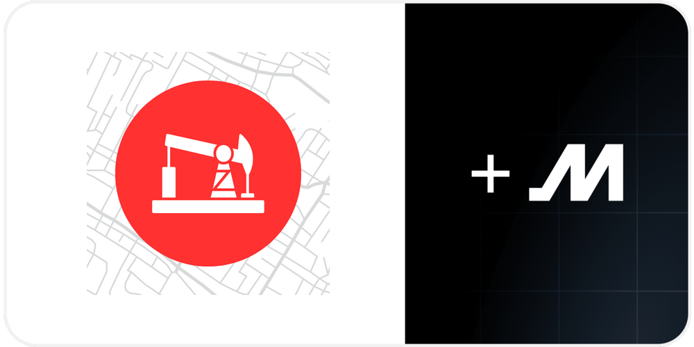
Patchmaps by Kestrel Insights
Patchmaps integration displays Motive vehicle locations alongside searchable well sites and LSD overlay map layers for clear visibility into oilfield operations.
Description
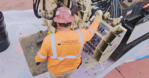
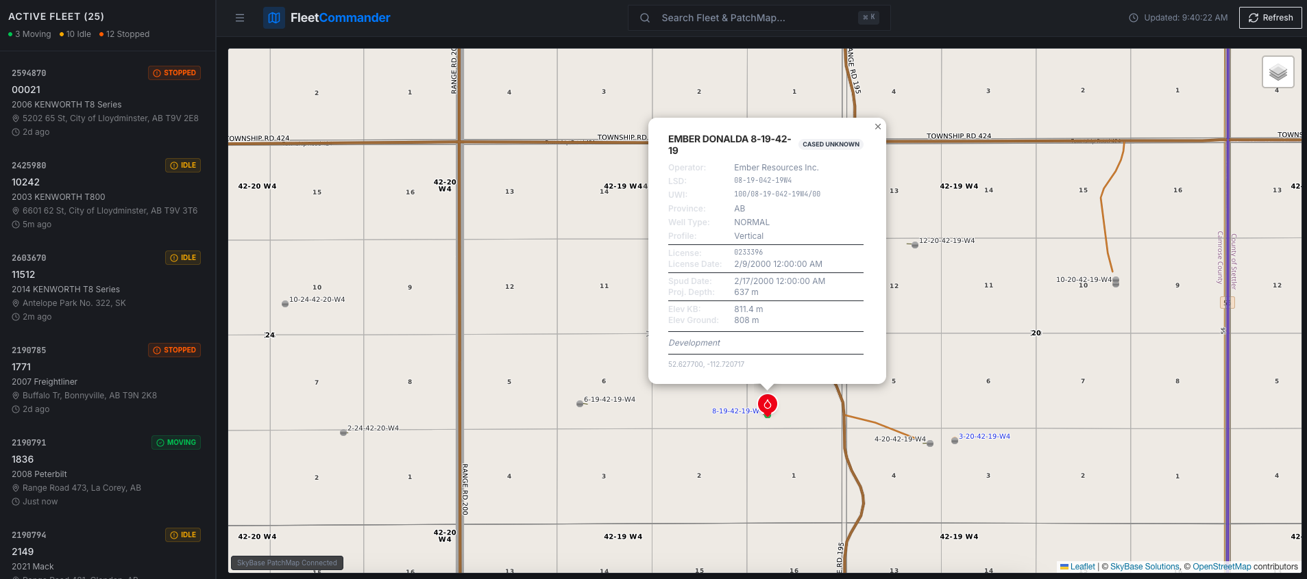
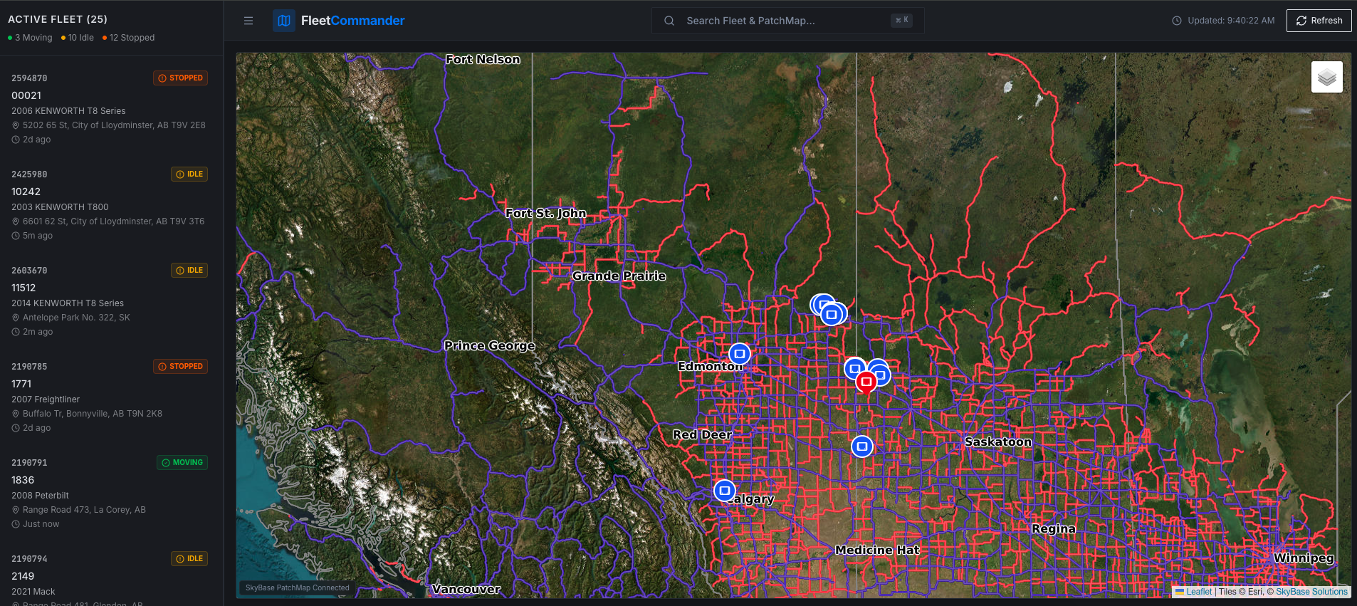
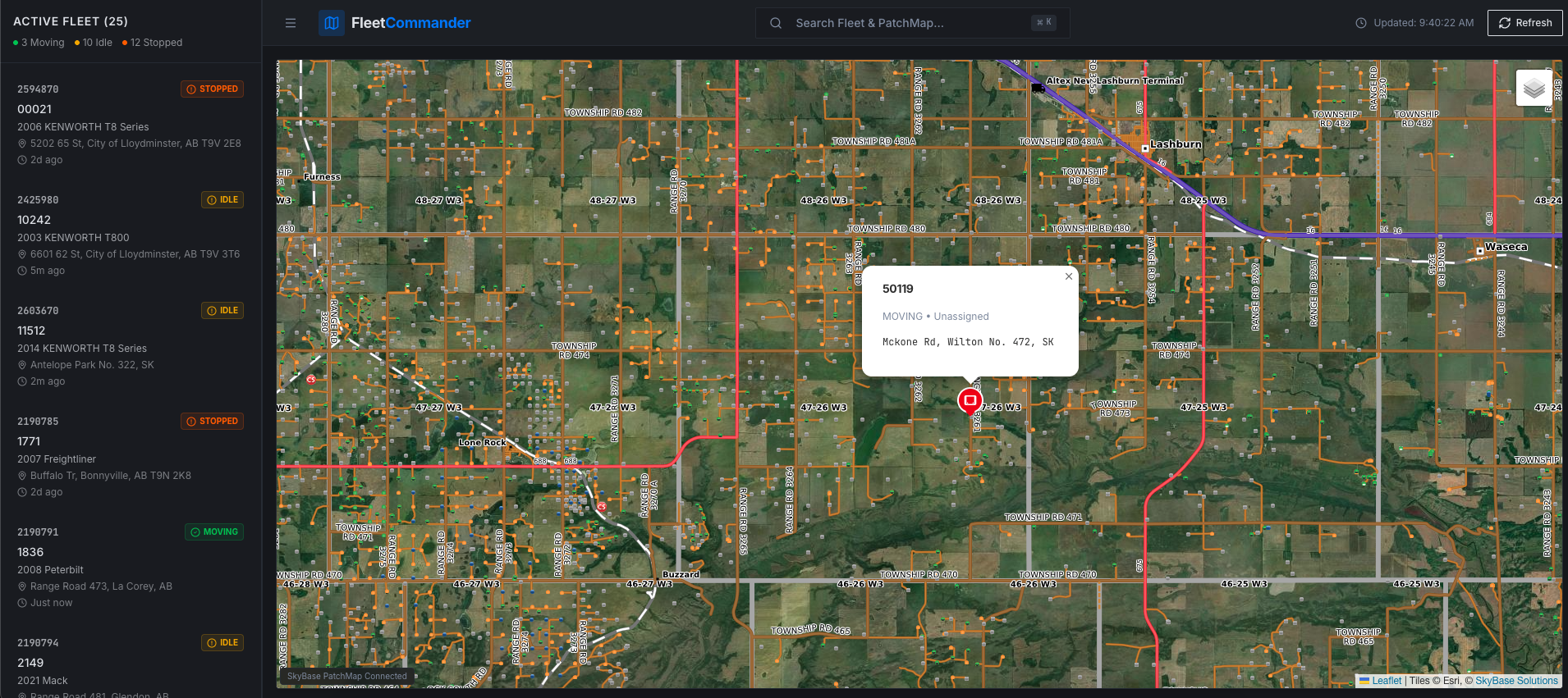
Combine Patchmaps with Motive to bring your fleet locations right into the oilfield context. This integration overlays live Motive vehicle positions on an interactive map layered with searchable well sites and Legal Subdivision (LSD) boundaries—giving dispatchers and field teams clear visibility into where vehicles are relative to critical oilfield assets and land divisions. Currently available for operations in Canada.
Key Benefits
This integration delivers:
- Live Vehicle Positioning on Oilfield Maps: See real-time Motive vehicle locations directly overlaid on detailed Patchmaps layers, so you always know exactly where your trucks and equipment are in relation to wells and leases.
- Searchable Well Sites & LSD Layers: Quickly locate and zoom to specific well sites or legal subdivisions while tracking your fleet, making it easier to assign jobs, monitor movements, and respond to field needs.
- Improved Dispatch & Field Coordination: Unified map view helps dispatchers make faster, more informed decisions about routing, resource allocation, and on-site support without switching between multiple systems.
- Clear Land & Asset Context: Understand vehicle proximity to boundaries, active sites, and restricted areas at a glance, supporting safer operations and better compliance in complex oilfield environments.
Note: This integration is brought by Kestrel Insights
Shared data
Data
Vehicle Locations
Vehicle Locations

Data
Vehicle Locations
Vehicle Locations
Media
Additional Details
Refer to the following document for helpful user information: